

NASSAU, BAHAMAS – The central and northwest islands of The Bahamas can expect rainfall, thunderstorms and sea swells over the weekend from two separate systems in the Atlantic.
A large area of disorganized showers and thunderstorms extending from near the central and northwest Bahamas, eastward over the western Atlantic for a few hundred miles, is associated with a surface trough of low pressure.
According to the National Hurricane Center, the system is forecast to move westward, crossing The Bahamas and Florida today and moving into the eastern Gulf of Mexico as a tropical depression over the weekend.
“Upper-level winds are expected to become conducive for development and a tropical depression could form while this system moves slowly west-northwestward over the eastern Gulf of Mexico early next week,” the center said.
The system has a 10 percent chance of development over the next 48 hours and a 50 percent chance of development over the next five days.
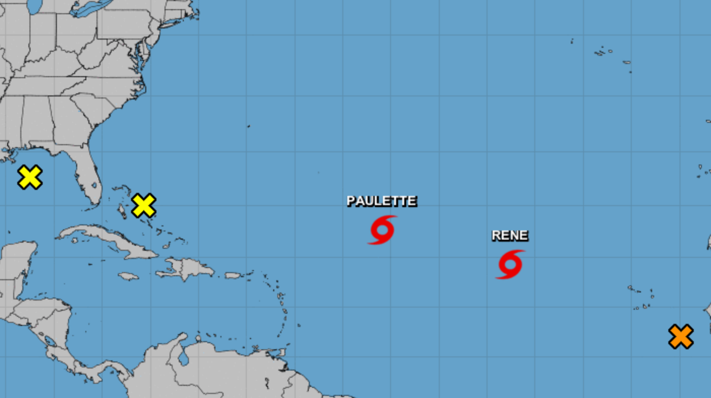
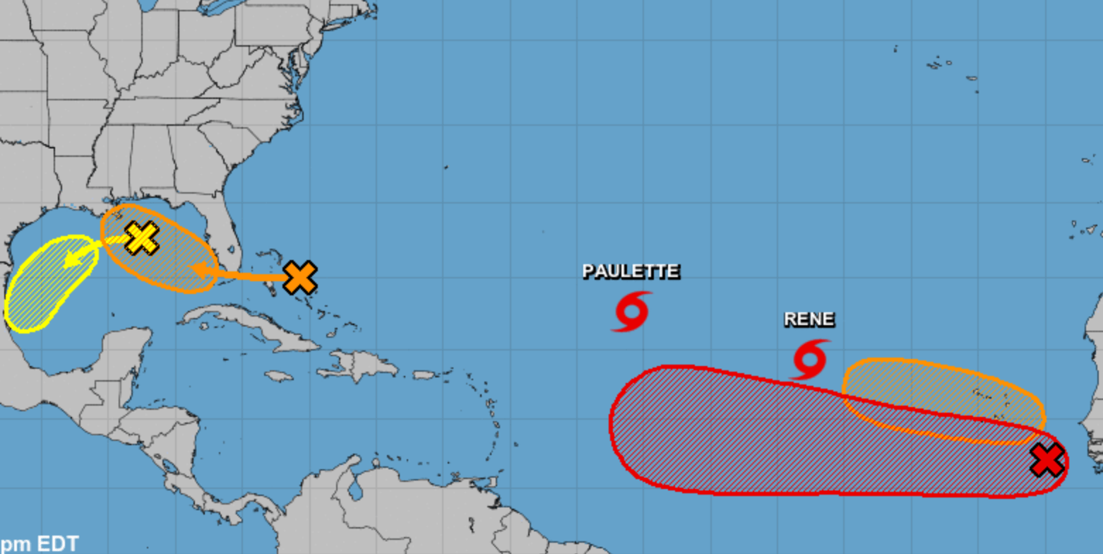 Swells produced from Tropical Storm Paulette, which is on course to impact Bermuda as a potential hurricane, could affections portions of the Leeward Islands, the Greater Antilles, The Bahamas and the southeastern coast of the United States into the weekend.
“Swells generated by Paulette are expected to reach portions of the Leeward Islands tonight and Friday and will continue to spread westward to portions of the Greater Antilles, Bahamas, Bermuda, and the southeastern United States into the weekend,” the center said.
“These swells are likely to cause life-threatening surf and rip current conditions.”
Meanwhile, a tropical wave located a few hundred miles southeast of the Cabo Verde Islands continues to produce a large area of disorganized showers and thunderstorms. Gradual development is expected over the next 48 hours, according to meteorologist, who estimated the system has a 90 percent chance of development over the next five days.
Another tropical wave is forecasted to emerge off the west coast of Africa this weekend with environmental conditions “conducive for development” into a tropical depression early next week.

